Related articles:
- An interactive tool for navigation within a database of water and carbon stable isotope records from natural archives (http://www.clim-past-discuss.net/cp-2015-165/)
-
Proposal for a structured spreadsheet for Paleo Data to interface with the Linked Paleo Data container
Description:
This application allows you to select different paleo-oceanographic proxies collected at LSCE
according to various dimensions (spatial position, depth, age, archive, material type and chronological information).
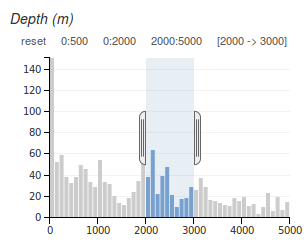
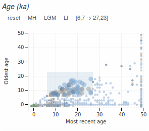 You can apply filters on dimensions such as age, data type, depth, and archive type by interacting with the charts. All charts are linked together so that filters applied in one chart will update the others, as well as the map.
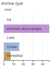 To cancel a filter, click on "reset".
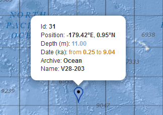 You can view information about a proxy (id, position, etc.) when you mouse over its position marker. This will also highlight in bold text the corresponding row in the data table showing the proxy information, along with the species and the reference of the paper. Click on the DOI to view the listing in google scholar, the web search engine for scientific papers.
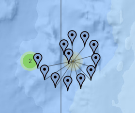 When several proxies share the same location, they are grouped together in a cluster (colored circles).
Click on a cluster to display all the proxies it contains.
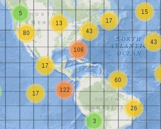 Red clusters represent more than 100 proxies, yellow clusters contain more than 10, and all others are green.
Technical architecture:
This application uses following javascript libraries:
- dc.js Dimensional Charting Javascript Library
https://dc-js.github.io/dc.js/ - dc-addons to dc.js
https://github.com/Intellipharm/dc-addons - Crossfilter for Fast Multidimensional Filtering for Coordinated Views
http://square.github.io/crossfilter - D3.js for Data-Driven Documents
http://d3js.org - Leaflet Open-Source JavaScript Library for Mobile-Friendly Interactive Maps
http://leafletjs.com
Open source code:
This application was adapted by Eva Bilski from the Climate Proxies Finder, which was created and developed by Patrick Brockmann (CEA - LSCE), with coding contributions from Cathy Nangini (CNRS - LSCE). The source code is available at: http://github.com/Eblsk/DustIronDatabaseForClimate
Credits:
The baselayer tiles are provided by the ArcGis Online service
http://services.arcgisonline.com/ArcGIS/rest/services/Ocean_Basemap/MapServerShopping cart icons from Christmas&Shop icons by Artyom Khamitov License: CC 3.0
Known issues:
- The projection used is a "Spherical Mercator" with an extension to North and South limited to 85°. This is a problem for data collected at more northern or southern positions. In this case, proxy positions are set to 85°.
